History of Wybunbury
The Village
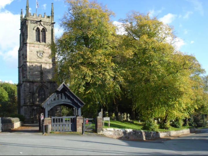
The village of Wybunbury is recorded as being one of the earliest settlements in Cheshire. It is said to take its name from ‘Wigbeorn’s manor’ or stronghold. It is possible that he built a fortified residence of some sort on a site not far from a source of water. Old maps show the location of a moated site with a drawbridge, Hall Bank near Wybunbury Brook. The outline of the site is still visible today from the top of Wybunbury Tower.
Wybunbury was in Mercia, an Anglo-Saxon region in the North-west that was settled on loose tribal boundaries before the country was organised into shires. Wybunbury was already well established before the invasion of William the Conqueror in 1066 and is mentioned in the Domesday book of 1086.
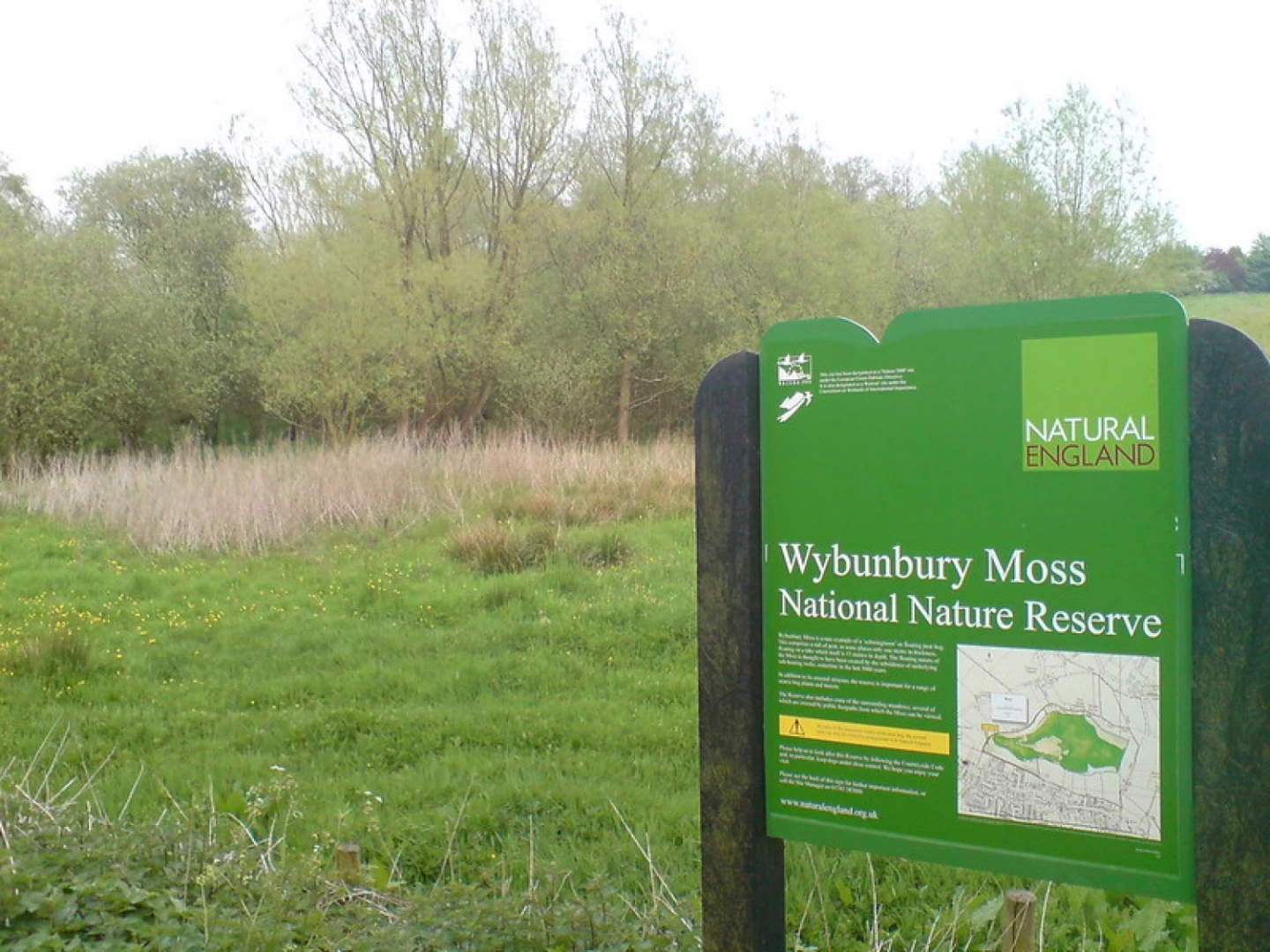
Wybunbury Moss
Wybunbury Moss is a National Nature Reserve (NNR) and Site of Special Scientific Interest (SSSI) near the village of Wybunbury in Cheshire, England. It is a raised lowland bog, and a rare British example of a schwingmoor and a ‘subsidence mire’ (only two other British examples of the latter exist: Brookhouse Moss SSSI between Congleton and Sandbach, also in Cheshire, and Chartley Moss NNR in Staffordshire).
The site was first notified as an SSSI in 1951, and designated as an NNR in 1955, with further acquisitions added to the protected area in 1957 and 2009. It is owned and managed by Natural England.
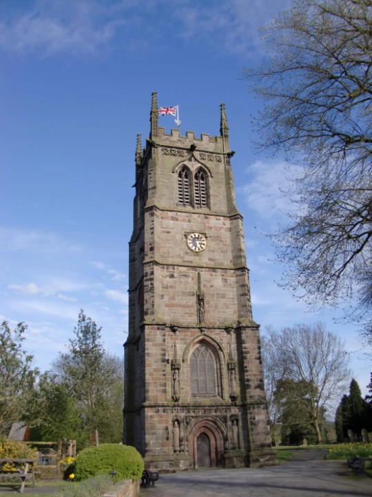
The Leaning Tower
Believe it or not, the village of Wybunbury and the Italian town of Pisa have something in common.